A little geocaching & beachcombing on Decatur Island |
When you get a perfect day.....better take advantage of it. |
Click
the |
Just click on a thumbnail and a new window will open with a larger picture.
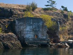 |
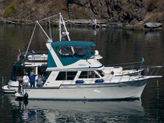
Saturday, September 12, 2009 looked like the weatherman's gift to the San Juan Islands. Lots of sunshine and warmth with only the hint of a light breeze. Luann and I were joined by Matt and Sarah, our son and daughter-in-law....and by Bill and Sharon Robertson aboard 'Remedy'. We set out for a little anchorage on the backside of Decatur Island that had caught my eye a few weeks earlier. | ||
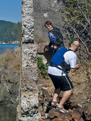 |
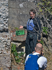
This particular spot just happened to have a few geocaches nearby. Sarah was quick to find the cache GCQ7KP. The cache owner incorrectly identifies the crumbling structure as a lime kiln. Actually, this structure was used during WWII to process kelp into soap. Kelp soap is in fashion, now. Organic, nourishing, vegan, healing, soothing and cleansing, too. No wonder those fishies stay so healthy....it's the Sea Kelp. |
||
 |
The structure has seen better days, but it's a cool piece of San Juan history. The little island, owned by the Nature Conservancy, appears to be unnamed. Perhaps it's connected to Decatur Island at an extremely low tide. Incidentally, Decatur island was named after Stephen Decatur, an heroic American naval officer who served in the Barbary Wars and the War of 1812. His life and career make an interesting read. |
||
 |
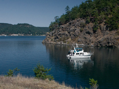 |
Here we are, rafted up and relaxing in the sunshine. We hardly need an anchor; a short length of chain streched out on the bottom holds us nicely in place. | |
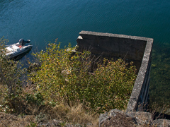 |
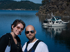 |
From the top of the unnamed island we look down on the ruins and watch our dingy dragged up on a bit of rocky beach. Every once in awhile I get a pic that I really like....this one, for example. |
|
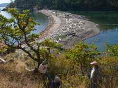 |
Decatur island may be unique in that is has two isthmuses. The most prominent is Decatur Head on the East side of the island, facing James Island State Park. This isthmus is on the Southwest corner of the island adjacent to our anchorage. The headland is owned by the Nature Conservancy. the sandy beach faces South to Lopez Pass and is a good spot for beachcombing. We are beginning a short hike to another geocache at the Southeast tip if the island. |
||
 |
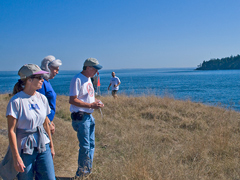 |
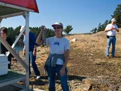
Luann spots geocache GCQ7KK. Right at the red flashing light. The views are stunning and the coastline is rugged. | |
 |
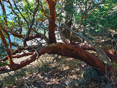 |
As we started back to the dingy, I just happeded to turn around a get a pic of Sharon. And I just couldn't resist a madrona pic. Those trees are so beautiful and different.. | |
 |
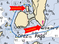 |
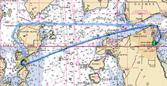
The GPS recorded our tracks. 24.5 miles round trip from Anacortes Marina. A nice day trip. Finding the geocaches was great fun. It's a nice way to add a bit of extra adventure and exploration to a beautiful day. |
|
Send me an EMAIL |
||||
Copyright © 2008 Gerald Albertson All Rights Reserved